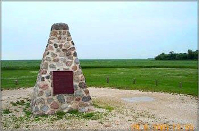
After Confederation in 1867, the Hudson’s Bay Company transferred Rupert’s Land (Western Canada) to Britain, who transferred it to the Canadian Government who soon began planning for settlement of the West. They looked to the United States to see how they had managed settlement of the interior lands. They copied the American Homestead Act of 1862 and the American survey systems, but with some differences and enacted the DOMINION LANDS ACT in 1869. After treaties were signed with various tribes, the next event was to survey the land. A survey party was usually made up of surveyors, Métis or Native guides, a cook, etc among about 20 members. They traversed the land on foot or horseback with carts for supplies. It was a painstaking work of observations, measurements and staking for the men living in tents, on the move in fair and inclement weather, through prairie, hill, mountain and bush country. Their extensive findings were compiled in a physiographic catalogue of lands for the benefit of the Dominion Government, land agents and settlers. An example of survey reports: The survey of the Yorkton region dates back to 1881. Here are excerpts from the register for Township 26, Range 4, West of the 2nd Meridian—(Sites of old and present day Yorkton) --North—undulating prairie, with heavy poplar and willow bluffs. A creek 80 links wide (52.8 feet) crosses the north quarter of Section 36. A.L. Russell, 1880. The west is all good clay loam. The north half is nearly all solid poplar bush in which there is good fencing and some fair building materials. W. Ogilvie 1880. East—rolling prairie. Soil is rich loam. T. Drummond 1880 East sub-division –Traversed by a tributary of the White Sand River, a swift stream. The timber is large enough for building purposes. The soil is very good. D.C. O’Keefe, 1880. The Toronto headquartered York Farmers’ Colonization Company; the founders of Yorkton based much of their plans from these physiographic records when they chose the area and organized colonization in 1882. Surveyors are not often mentioned in our history books, giving them credit for the very difficult task of preparing the land for settlement. However, this image shows that a monument in Manitoba was erected to commemorate their work.


