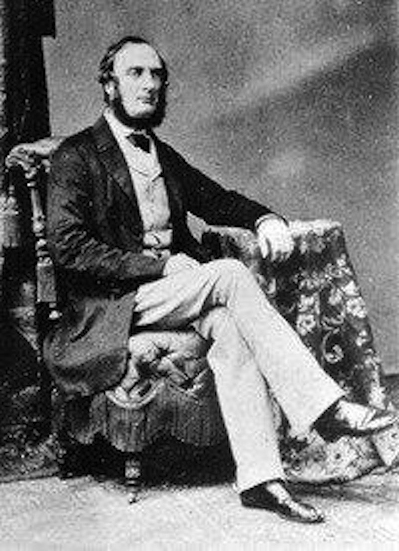
After Confederation Canada became a “Dominion” with the authority from Britain in 1870 to take over the Canada-west lands that had been Rupert’s Land under the charter of the Hudson’s Bay Company and other lands termed “British Possessions” in the old North West Territories. The Dominion government began making decisions about settlement of these lands. Of course, there already was a main settlement since early 1800s in the West — at the Red River, some French Canadians, French Métis, who were parishioners of the Roman Catholic mission at St. Boniface, and English, Scottish Métis belonging to Anglican missions. Even before Confederation, the government of Canada also had received knowledge of the whole north west from the Hudson’s Bay Company and from official recognizance assignments led by a few British individuals considered qualified for the work. One was Captain John Palliser in 1857-60. Palliser was basically an adventurer, with a keen interest for big game hunting. In 1847, he had travelled to the grand prairies of the Missouri country to hunt elk, antelope and bear. Afterwards, he had joined the Royal Geological Society of England and made an application to be sponsored by them on an exploration trip of the interior of what is now Western Canada. This plan was approved and financed by the Society In 1857, when an expedition led by Palliser made up of a geologist, naturalist, physician, botanist, magnetic observer, astronomer traveled throughout much of what is now western Canada. They provided the first comprehensive description of the physical geography of the western interior country, one containing rich soil, called the Fertile Belt, and another one an arid and forbidding region that stretched from the southwestern part of what is now Saskatchewan, up to the 49th parallel which has been called “The Palliser Triangle.” This description has not been totally correct, except during the ten years of drought in the 1930s. There have been and there are today many very successful grain producers and ranchers in this area. In addition to the great knowledge gained by this work, the expedition showed Americans who were setting greedy eyes of expansionism to the north that this land was already claimed by Britain. There was also an important observation and recommendation made — the importance of providing for the future of the Indian inhabitants of the West before the buffalo disappears and any settlement is planned.
Contact Terri Lefebvre Prince,
Heritage Researcher,
City of Yorkton Archives,
Box 400, 37 Third Avenue North
Yorkton, Sask. S3N 2W3
306-786-1722
heritage@yorkton.ca


